
According to climate data gathered over numerous years; the mean temperature in October is of 21.4°C (a 24.5°C high and a 18.2°C low). According to climate data gathered over numerous years; total precipitation in October is of 89.0 mm.
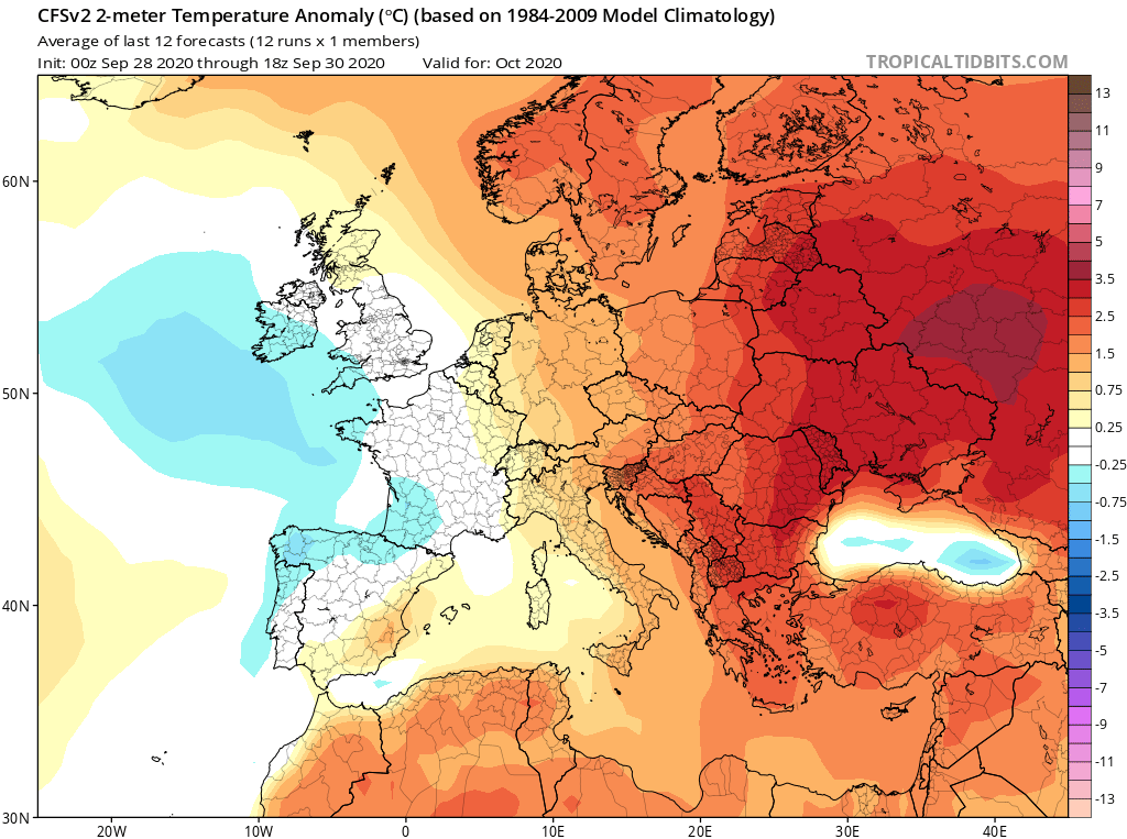
With regards to temperature, October 2020 is likely to be warmer than average, particularly at night. Despite this, the difference from the mean is not likely to be very wide. With regards to precipitation, October 2020 is expected to be drier than average. The few rainfall events we’ll have will be separated by long spells of finer weather. The total rainfall we’ll be receiving also depends largely on whether the few rainfall events that form affect land or not. September 2020 was a very clear example of this brasil-libido.com. When compared with the climate average, it was much wetter than normal. When you dig into the numbers, you’ll see that much of the rain fell in one or two heavy rainfall events halfway through the month.

FURTHER OUTLOOK (TEMPERATURE)
November 2020 – Warmer than Average (+0.25°C to 0.75°C)
December 2020 – Warmer than Average (+0.25°C to 0.75°C)
January 2021 – Warmer than Average (+0.25°C to 0.75°C)
FURTHER OUTLOOK (PRECIPITATION)*
November 2020 – Drier than Average
December 2020 – Average
January 2021 – Drier than Average
* A ‘Drier than Average’ outlook means that maps are pointing towards lower than normal storm around the central Mediterranean, meaning fewer than usual rainfall events separated by long spells of finer weather. You could have a month with total rainfall higher than normal, but with much of the total rainfall falling in one or two heavy rainfall events. Whether or not a month ends up being significantly or marginally drier than average will depend entirely on whether any thunderstorms that form affect land or not.
0 comments
Write a comment